How to Get to Tikal: Maps and Directions
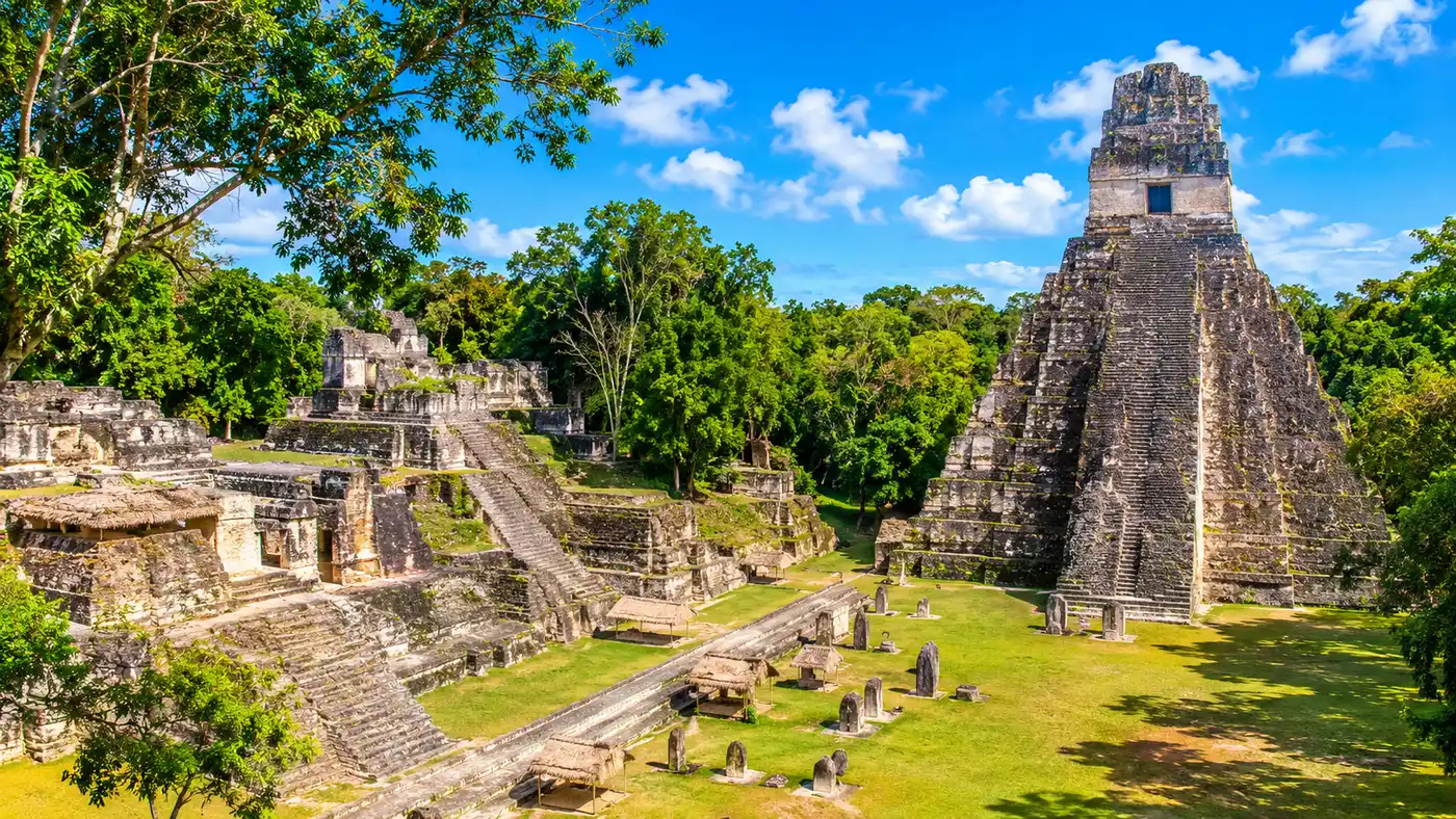
Deep green jungle stretches for miles across the Petén basin until gray limestone crests pierce the canopy. Figuring out how to get to tikal can feel slightly intimidating if you look at a broad atlas, mostly because the site sits surrounded by protected biosphere reserves in the northern pocket of the country. Once you understand the transit routes, the journey is straightforward. Thousands of travelers make the trek every month without incident.
Whether you fly in from the capital, ride an overnight coach from Antigua, or cross the land border from western Belize, your route narrows down to a single highway slicing north through the trees. This guide breaks down the physical map, driving routes, public transit, and border logistics to get you to the park gates smoothly.
Book your tikal tours experience:
Where Is Tikal Located on a Map?
Travelers often ask what country is Tikal in when flipping through ancient history books. The ruined city rests firmly inside the Republic of Guatemala. If you pull up a Guatemala map, Tikal dominates the vast northern department of Petén, which makes up roughly a third of the nation's entire landmass. The coordinates place it roughly 303 kilometers north of Guatemala City in a straight line, though driving distances wind much further due to the rugged topography.
Looking at a map of Mayan ruins in Guatemala, you quickly realize how isolated ancient cities can be from modern urban sprawl. Tikal Central America was once the seat of a sprawling kingdom, yet today the ruins are enclosed within the 575-square-kilometer Tikal National Park. This park forms part of the much larger Maya Biosphere Reserve, bordering Mexico to the north and Belize to the east.
Where was Tikal located in relation to other classic sites? It sat right in the heart of the Maya lowlands. That central position gave its ancient rulers immense trade leverage between the Gulf of Mexico and the Caribbean Sea. On a modern GPS, the Tikal national park location marks an outpost surrounded by dense subtropical forest, with the tiny community of El Remate and the island town of Flores serving as the nearest supply depots.
Pro tip: Download your offline maps of the Petén region before leaving your hotel in Flores, as cellular signal drops to zero about 12 kilometers south of the Tikal entry gate.
Flores to Tikal: The Main Gateway
Nearly everyone heading to the ruins stages their trip through Flores, the picturesque island town anchored in Lake Petén Itzá. The distance from the island to the archaeological site is roughly 64 kilometers. The journey takes between 70 and 85 minutes along paved roads.
You have four primary ways to cover this stretch:
- Shared tourist shuttles: Minivans pick up passengers from island hotels roughly every hour starting at 4:30 AM. They cost around 80 to 100 Quetzales ($10 to $13) for a round-trip ticket, returning in the early afternoon.
- Public collectivo: Local vans depart from the Santa Elena market terminal across the causeway. You board a van heading to El Remate or directly to Uaxactún, paying about 35 Quetzales ($4.50) each way. It is cheaper, but stops constantly for locals on the roadside.
- Private taxi: A dedicated driver charges roughly 450 to 550 Quetzales ($60 to $70) for the vehicle, which includes waiting for you at the site while you explore for four or five hours.
- Organized excursion: Many visitors prefer booking full Tikal tours from Flores to bundle air-conditioned transport with a licensed guide who navigates the trails.
The road out of Santa Elena runs along highway CA-13 east toward Belize before splitting north at the village of Ixlu. From Ixlu, you trace the eastern curve of the lake to El Remate, where the asphalt cuts straight into the rainforest. It is an easy drive, well-paved, and flat, save for a few gentle swells in the terrain.
| Origin | Primary Transport | Typical Travel Time | Estimated Cost (USD) |
|---|---|---|---|
| Flores Island | Shared Minivan Shuttle | 1 hour 15 minutes | $10 - $13 round-trip |
| Guatemala City | Domestic Flight (TAG) | 50 minutes (to FRS) | $120 - $210 one-way |
| Guatemala City | Overnight First-Class Bus | 9 - 11 hours | $35 - $50 one-way |
| San Ignacio, Belize | Border Taxi + Guatemalan Shuttle | 2.5 - 3 hours | $40 - $75 one-way |
| El Remate | Direct Van or Local Colectivo | 40 - 45 minutes | $5 - $8 one-way |
How to Get to Tikal Guatemala from the Capital and Antigua
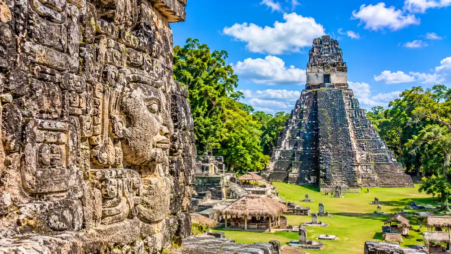
If you begin your journey in the southern highlands, your first logistical decision involves time versus money. The distance between the southern volcanic belt and northern Guatemala is roughly 500 road kilometers. That might sound modest, but chaotic highway traffic and mountain switchbacks make it a substantial undertaking.
Flying saves you an entire travel day. TAG Airlines operates multiple scheduled daily flights from La Aurora International Airport (GUA) in Guatemala City to Mundo Maya International Airport (FRS) in Santa Elena. The flight takes 50 minutes. Propeller planes glide past the southern volcanoes before dropping over the Petén jungle basin. If you are staying in Antigua, arrange an early morning private taxi or shuttle to GUA airport three hours before departure to beat the morning gridlock through Mixco.
If you prefer ground transit, overnight coaches leave the capital every evening. Companies like Maya de Oro, Fuente del Norte, and Autobuses del Norte run luxury double-decker coaches with reclining sleeper seats, charging around 280 Quetzales ($36). These buses leave between 9:00 PM and 10:00 PM, pulling into the Santa Elena bus station around 6:30 AM. Pack an extra fleece for the bus. Drivers set the air conditioning to arctic temperatures throughout the night.
Day tours by air are also quite popular for travelers short on time. Taking organized Tikal tours from Guatemala City allows you to catch the dawn flight, tour the Great Plaza by midday, and fly back to the capital in time for an evening dinner.
Book your tikal tours experience:
Coming Across the Border from Belize
Due to where Tikal is located in Guatemala, the border with Belize lies only 100 kilometers east of the ruins. Many people combine an island trip in Caye Caulker or a jungle lodge stay in San Ignacio with a trip into Petén.
From San Ignacio, the journey to the border crossing at Benque Viejo del Carmen takes just 15 minutes by shared taxi. Belizean cabs drop you directly at the customs building. You stamp out of Belize, pay the standard Belize departure tax (roughly $20 to $22.50 depending on whether you leave by land), and walk across the covered footbridge into Melchor de Mencos, Guatemala.
Note: Guatemalan immigration does not charge an entry fee for tourists from standard visa-waiver nations. If an official asks for money at the Melchor de Mencos counter, politely ask for an official government receipt; the request usually vanishes.
Once stamped into Guatemala, you will encounter a flurry of local drivers. Private taxis waiting outside the customs post will take you straight to Tikal for around $70 to $85, or you can take a cheap collectivo down to the junction at Ixlu for 25 Quetzales and switch to an inbound van heading north. The total transit time from San Ignacio to the ruins usually clocks in under three hours, assuming normal border clearance lines.
Driving and Navigating the Tikal Map Location
Renting a vehicle at Mundo Maya Airport grants complete control over your schedule. The drive north from the airport uses CA-13 through Santa Elena, crossing the bridge onto the mainland. The road surface remains surprisingly smooth, without the crater-sized potholes common in southern parts of the country.
Keep these route details in mind when driving:
- Speed enforcement: Radar traps operate occasionally near Flores, but the primary speed regulation inside the national park comes from jungle wildlife speed bumps.
- The park entrance gate: The main checkpoint sits roughly 17 kilometers south of the ruins and visitor center. You must show your pre-purchased tickets and identification here.
- The jungle transit corridor: Once past the gate, the speed limit drops strictly to 45 km/h to protect coatimundis, spider monkeys, and turkeys crossing the tarmac. Guards record your entry time; if you arrive at the inner parking lot too quickly, they issue fines.
- Parking logistics: The visitor hub offers a spacious dirt lot adjacent to the park museums. A nominal parking fee of 30 Quetzales is collected by park staff.
Buy your park admission tickets before driving to the gate. You cannot buy entrance passes at the physical checkpoint with cash. Tickets must be purchased online through the official government portal or in person at any Banrural bank branch in Flores or Santa Elena. Bring your original passport when presenting the printed receipts.
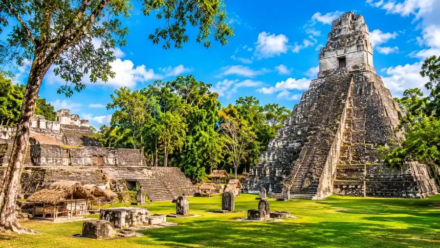
Navigating within the park requires foot travel. The actual ruins of Tikal Petén cover sixteen square kilometers, though the core monumental area is reachable via packed earth trails under massive mahogany and ceiba trees. Maps are posted at major trail junctions, though carrying a pocket paper map from the visitor center prevents unnecessary backtracking in the heat.
Frequently Asked Questions about how to get to tikal
In which country is the Mayan city of Tikal?
Tikal is located in the northern department of Petén within the Republic of Guatemala, roughly 64 kilometers northeast of Flores.
Can you fly directly to Tikal?
No commercial flights land inside the national park. You must fly into Mundo Maya International Airport (FRS) in Santa Elena, then take a bus, shuttle, or taxi for 75 minutes to reach the ruins.
Can I do a day trip to Tikal from Belize?
Yes, especially if departing from western Belize towns like San Ignacio. The drive to the border takes minutes, followed by an hour and a half journey from the border to Tikal National Park.
Do I need an off-road vehicle to drive to Tikal?
No, standard compact sedans handle the route easily. The road connecting Flores, El Remate, and the Tikal visitor center is completely paved and accessible year-round.
Quick Reference
- Flores to Tikal: 64 km (75 mins)
- Capital flight time: 50 minutes to FRS
- Belize border to Tikal: 100 km (90 mins)
- Inner gate to visitor center: 17 km
- Park entry ticket: Buy in advance at Banrural
Book your tikal tours experience:
Before You Hit the Road
Reaching this corner of Petén is far simpler than early explorers had it, back when reaching the Grand Plaza demanded days on mule trails through swampy jungle. With regular daily flights into Flores and well-maintained paved highways right to the visitor center, accessing the monuments is smooth. Secure your entry permits before you reach the outer checkpoint, start your journey early to beat the midday tropical heat, and keep your eyes peeled for wild turkeys on the jungle road ahead.
Read more about tikal tours.